Key takeaways
- The village signpost gives the distance, and the number that matters more is the height gained rather than the ground covered.
- Sjethaug appears in the operator's own highlights as the hike option alongside the waterfall.
- The point of the climb is seeing the fjord and the mountains in one view rather than one at a time.
- This is the choice you make instead of the waterfall and the manor, not as well as them.
What Sjethaug is
A viewpoint on the slope above Rosendal, named in the operator's own description as the hike option: a climb to panoramic views of the fjord and the mountains around it. The village signpost gives it as 2.4 kilometres.
That number is honest about distance and silent about gradient, which is the usual problem with signposts. Rosendal sits at sea level and Sjethaug does not, so the walk is short on the map and steady work underfoot.
It is not a mountain and it is not technical. It is the kind of climb that a reasonably fit person does in an hour without stopping and that everybody else does in an hour and a quarter with two breaks. Locals walk it as an evening stroll, which tells you something about both the gradient and the local definition of a stroll.
Hardanger bridge viewpoint and what you see
The reason to go up is that Rosendal from the water shows you a village against mountains, and Sjethaug shows you the whole arrangement at once: the fjord running away in both directions, the flat shelf the village sits on, and the peaks behind it including Melderskin.
Fjord landscapes are built in vertical layers and you only ever see two of them from sea level. From height the third one appears, and the relationship between water, farmland and mountain suddenly makes sense.
On a clear day this is the best view available on the trip by a distance. On a day with cloud on the tops it can be a climb to stand inside a cloud, which is worth knowing before you commit an afternoon to it.
Whether it fits the time
Tightly. Three and a half hours ashore, an hour or more up, less coming down, and a margin for getting back to the quay leaves very little for anything else.
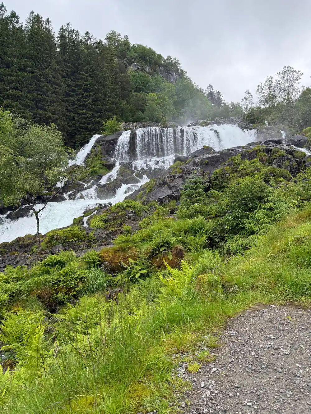
So treat it as the choice rather than an addition. People who climb Sjethaug do not also walk to Hattebergfossen and tour the manor, and pretending otherwise is how somebody ends up running down a hill.
If you want the view and the waterfall, the honest answer is that this trip gives you one of them properly. Pick the one that suits your legs and the weather on the day. Reviews from people who tried to do both are the ones that mention hurrying, and hurrying is the opposite of what this day is for.
2.4km
The signed distance to Sjethaug from Rosendal village. Short on the map and steep underfoot, which is the whole character of the walk.
What it asks of you
Sustained uphill walking on unsurfaced ground for the better part of an hour. That is more than the waterfall walk asks and considerably less than a Norwegian mountain does.
Shoes with grip rather than trainers, because the surface turns to loose stone and wet grass higher up. Water, because there is nothing to buy above the village. A layer, because it is colder and windier at the top than at the quay.
If you are unsure about your fitness, walk the first fifteen minutes and judge. The path shows you what it intends to do fairly quickly, and turning back is a perfectly sensible outcome.
Melderskin, and knowing the difference
The same signpost lists Melderskin at 6.7 kilometres, and it is worth being clear that this is not an option on a day trip. Melderskin is a proper mountain at over 1400 metres and a full day's outing from the village.
People occasionally set off towards it on three and a half hours ashore. That is how a pleasant afternoon becomes a missed boat and a night in a village with one hotel.
Sjethaug is the viewpoint that fits an afternoon. Melderskin is the thing you look at from the top of it, and the reason a fair number of people come back to Rosendal and stay a night.
The turnaround rule
Decide before you start what time you will turn round regardless of where you are, and then actually do it. An hour and a quarter after landing is a sensible number, and it does not care whether you can see the top.
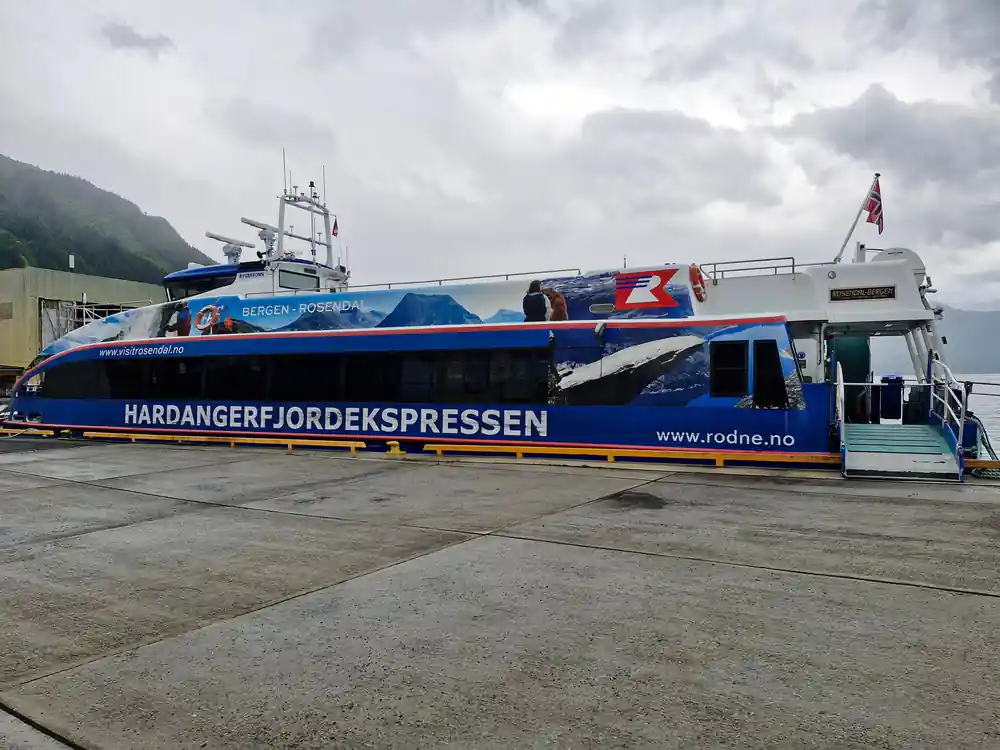
The boat is a scheduled service. There is no later sailing, no road option that gets you back to Bergen the same evening, and nobody at the quay who can help.
Guests who describe this trip well are the ones who treated the return time as fixed and planned inside it. That is the whole skill of a day with no guide.
Whether to do it at all
If the weather is clear and you like walking uphill, yes. It is the one thing on this trip that most visitors to the Hardangerfjord never do, and the view from it is the reason the operator mentions it at all.
If the cloud is down, take the waterfall instead. Hattebergfossen improves in rain and Sjethaug does not, and there is no sense climbing an hour to look at grey.
And if you came for the fjord rather than for the exercise, the manor and the museum make a perfectly legitimate afternoon. Nobody is grading you on how much height you gained before the boat sailed.
Book a day with time to climb
Check datesBefore you book
How far is Sjethaug?
How long does the climb take?
How hard is the climb?
What do you see from the top?
Does it fit in the time ashore?
Can I climb Melderskin instead?
What should I take?
What it asks
- Proper shoes with grip, not trainers
- Water, since there is nowhere to buy any
- A firm turnaround time before the boat
Key facts
- Signed distance2.4 km
- Time ashore3.5 hours
- TerrainSteep, unsurfaced
- AlternativeHattebergfossen